


Tgrad GIS «Water supply»
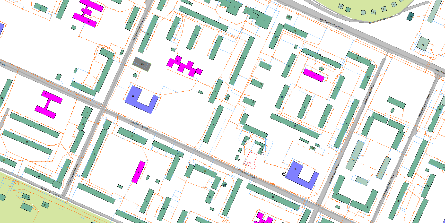
Tgrad GIS «Water supply» software is aimed to store and visualize water supply chain objects and commutations as well as to support daily operations of Municipal Water supply organization.
Tgrad GIS «Water supply» software is aimed to store and visualize water supply chain objects and commutations as well as to support daily operations of Municipal Water supply organization.